THE AG DRONES CROP PERFORMANCE SYSTEM — STEP 4 OF 5: MEASURE
How to Measure the Results of a Drone Crop Application
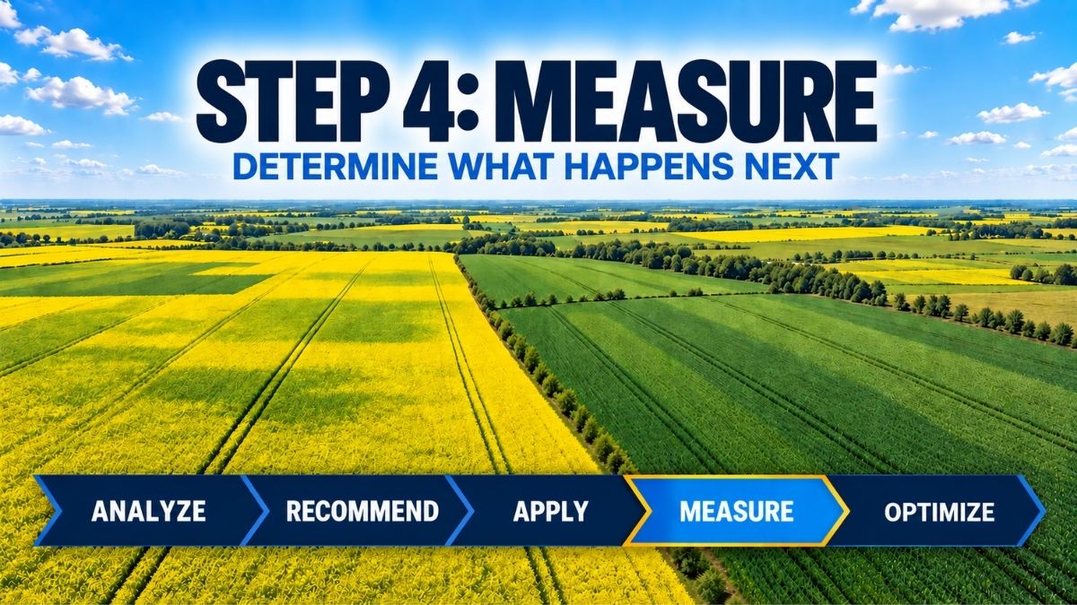
To measure drone crop application results, growers need a clear objective, baseline observations and comparable information collected after treatment. Step 4—Measure—uses repeat imagery, crop scouting and application records to determine what happened and what can be learned from the result.
Measure connects field execution to the next stage of the cycle:
Analyze → Recommend → Apply → Measure → Optimize
Once an application is complete, the next question is straightforward: did it achieve the intended result? The answer is not always visible immediately, and a single drive-by observation is rarely enough. The Measure stage creates a repeatable way to compare field conditions, crop response and application performance against the original objective.
How to measure drone crop application results
Measurement works best when the expected outcome is documented in advance. The objective may be to protect the crop during a disease-risk period, correct a confirmed nutrient deficiency, suppress a defined weed area, establish a cover crop or complete an application without entering a wet field. Each objective requires different evidence and a different evaluation timeline.
A useful plan records the field, crop stage, target, product, rate, water volume, application date, weather, equipment setup and the locations that will be checked again. This baseline makes the later comparison more meaningful.
Combine operational and agronomic measurements
Application records help confirm what was delivered: mission logs, mapped boundaries, completed flight paths, acres covered, refill information and operator notes. Agronomic observations help evaluate what happened afterward: crop symptoms, disease progression, weed response, canopy development, Leaftech Scanner nutrient results, laboratory tissue results, establishment or other indicators linked to the original goal.
- Repeat aerial imagery using a similar timing, altitude and field boundary.
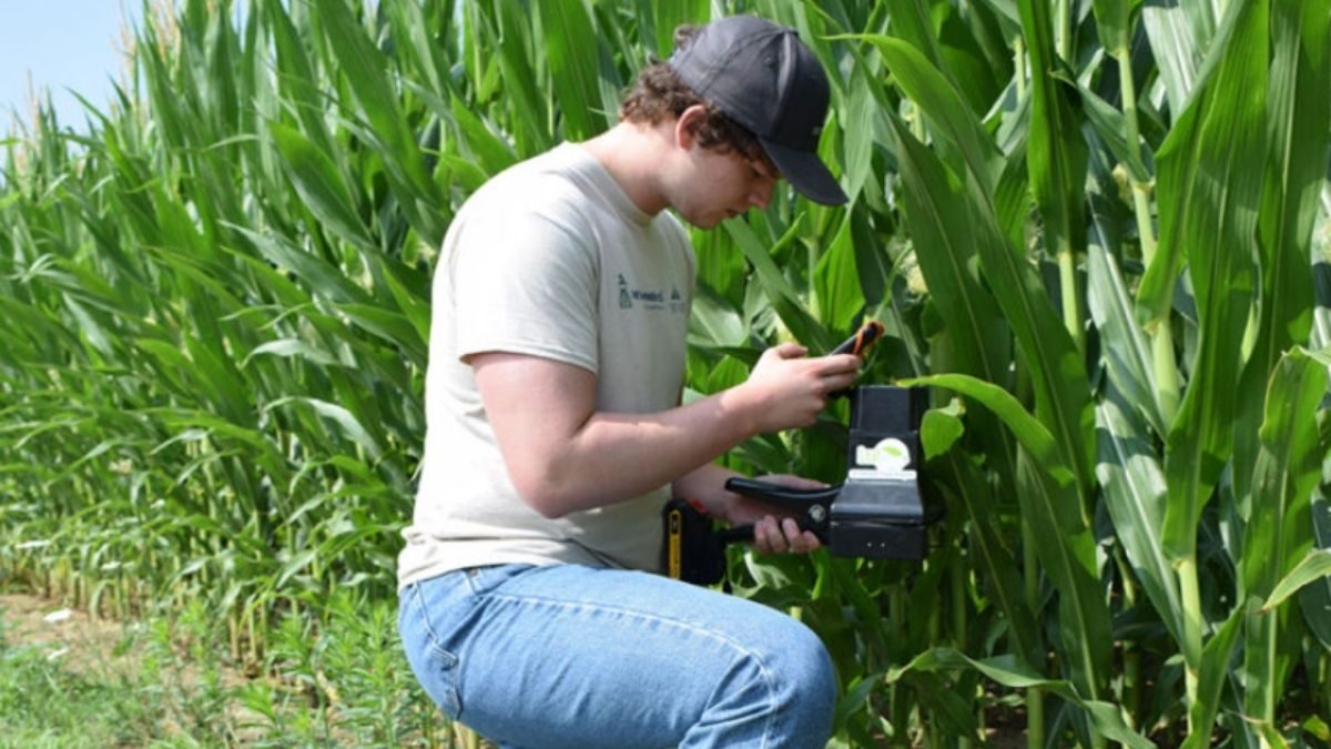
- Return to the same geo-referenced scouting points and, when Leaftech was used at baseline, repeat scans at comparable locations and crop stages.
- Compare treated areas with appropriate reference areas when practical.
- Photograph and record observations instead of relying on memory.
- Account for rainfall, temperature, crop stage and other factors that changed after application.
Use comparable information
Before-and-after images are most useful when they are genuinely comparable. Differences in sunlight, shadows, crop stage, sensor settings or flight height can change how a field looks. Consistent collection methods reduce noise and make real patterns easier to interpret.
The same principle applies to field scouting. Returning to a completely different part of the field may produce a different result simply because soils, drainage or initial crop condition were different. Marked locations and clear notes improve the quality of the comparison.
The Leaftech Scanner’s non-destructive scanning can be particularly useful here because the same geolocated areas can be revisited throughout the season. Repeated plant-level nutrient data can add context to before-and-after imagery and help show how nutrient status changed following a management decision.
Separate application performance from crop response
An application can be executed as planned while the crop response is influenced by later weather or other stresses. Conversely, a favourable crop observation does not by itself prove that every part of the application was uniform. Looking at operational records and agronomic response separately—and then together—creates a more balanced assessment.
Measurement is also a troubleshooting tool
When results vary, the goal is to understand why. Was the original diagnosis correct? Was timing appropriate? Did field conditions change? Was the required coverage achieved? Did topography, canopy, wind or refill workflow affect execution? Was the expectation realistic for the product and situation?
These questions turn a disappointing or inconsistent result into useful information. They can also confirm which parts of the plan worked well and should be repeated.
Create a record that improves the next decision
The Measure stage closes the loop between application and learning. Drone imagery, repeat Leaftech scans, scouting, laboratory tissue testing, field observations and mission records provide evidence that can be reviewed with an agronomist or operator. That evidence then feeds the Optimize stage, where the objective is to improve the next recommendation and application—not simply archive another map.
Want to build crop monitoring into your application program? Talk to Ag Drones about field imagery, repeat monitoring and a more complete Crop Performance System.
About the Ag Drones Team
Ag Drones Inc. is a Canadian source for EAVISION agricultural drone technology, training, parts and support. Powered by AgTek360, our team works with growers, operators and agricultural partners across Alberta, Saskatchewan and Manitoba, connecting field intelligence, agronomy and precision application through practical solutions designed for Canadian farming conditions.