THE AG DRONES CROP PERFORMANCE SYSTEM — STEP 2 OF 5: RECOMMEND
From Drone Imagery to Agronomic Recommendations: Turning Field Data Into Action
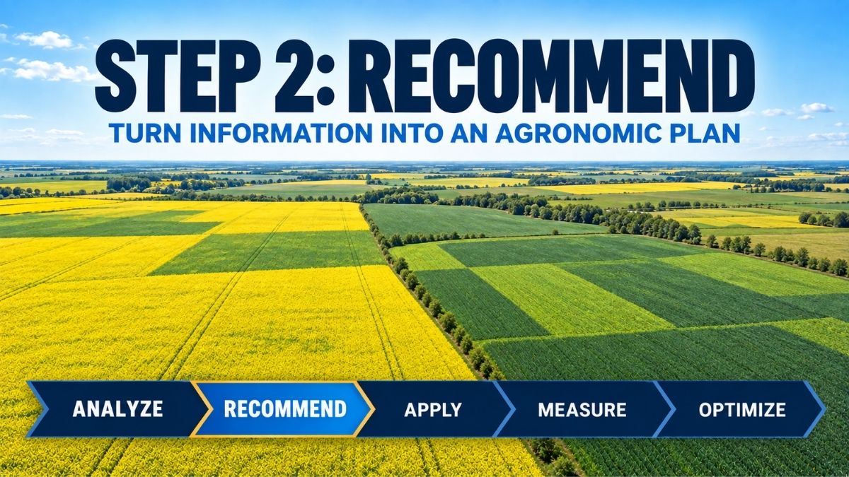
Agronomic recommendations from drone imagery begin by combining aerial observations with crop scouting, diagnostics, crop stage and field history. This interpretation happens during Step 2—Recommend—the second stage in the Ag Drones Crop Performance System:
Analyze → Recommend → Apply → Measure → Optimize.
Aerial imagery can show where a crop looks different, but a map alone cannot determine what the crop needs. The Recommend stage connects field intelligence with agronomy. It is where imagery, scouting, diagnostics, crop stage and field history are interpreted together to decide whether action is justified—and what that action should be.
Data is useful only when it answers a field question
Precision agriculture can generate a large amount of information. The best starting point is not the technology; it is the management question. Is emergence uneven? Is a wet area recovering? Does a lighter-coloured zone reflect a nutrient issue, disease pressure or soil conditions? Is a treatment needed across the whole field or only in a specific area?
Clear questions help determine what information to collect and keep the recommendation tied to a practical outcome. They also reduce the risk of treating every visual difference as a problem that requires an input.
Ground-truth the patterns seen from above
When drone imagery highlights variability, the next step is to visit representative locations. Comparing strong and weak zones can reveal differences in plant population, root development, soil moisture, weeds, insects, symptoms or residue conditions. The Leaftech Scanner can add rapid, in-field plant tissue analysis at selected locations, while laboratory tissue analysis or soil testing may also be appropriate when more information is needed.
Ground-truthing matters because several stresses can create a similar aerial pattern. A recommendation made without confirming the likely cause can waste time, miss the treatment window or apply a product where it is not needed.
Leaftech results can also be tied to geolocated points and repeated through the season. That makes the scanner useful not only for providing information about plant nutrient status at a particular moment, but for adding another data layer that can support a more informed recommendation.
Developing Agronomic Recommendations From Drone Imagery
A practical recommendation considers more than the product. It should account for the crop and variety, growth stage, identified issue, expected benefit, application timing, rate, water volume, coverage requirements, weather, field access and the product label. The delivery method must also suit the application.
- What evidence supports the recommendation — imagery, field scouting, Leaftech nutrient data, soil or laboratory tissue results, or other diagnostics?
- Is the crop at the appropriate stage?
- Does the product label permit the intended use and application method?
- What coverage, droplet size and water volume are required?
- Can the treatment be completed within the useful timing window?
- How will the result be evaluated afterward?
Whole-field and targeted decisions
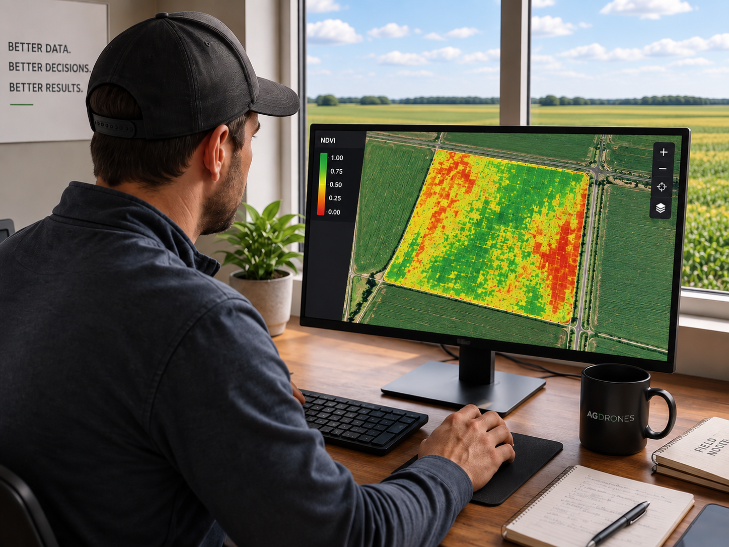
Some situations call for a consistent whole-field application. Others may justify additional investigation or treatment in a defined zone. Drone imagery can help describe the extent and location of field variability, while agronomic interpretation determines whether that variability should change the management plan.
This is where precision becomes more than accurate flying. Precision also means choosing the right action, for the right area, at the right time—and knowing when not to apply.
Choose the application method after the recommendation
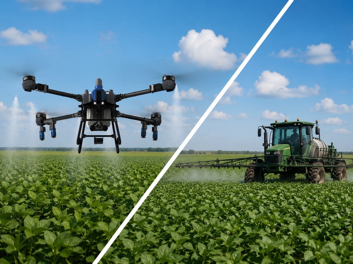
Agronomy should lead the equipment decision. A drone may be a strong fit when fields are wet, terrain is difficult, crop damage from wheel traffic is a concern or timing is tight. Conventional ground or aerial equipment may be the better fit in other situations. The recommendation should define the agronomic requirement first; then the team can select a compliant delivery method capable of meeting it.
Recommendation creates the bridge to application
In the Ag Drones Crop Performance System, Analyze identifies what deserves attention and Recommend turns that information into a defensible plan. The Apply step then focuses on executing that plan with appropriate equipment, calibration and operational discipline.
Have field imagery or a crop concern but are unsure what it means? Talk to an agronomy specialist about connecting your field observations to a practical next step.
Next in the Series
Step 3 — Apply: Precision Drone Application in Canada: When Timing and Field Access Matter
About the Ag Drones Team
Ag Drones Inc. is a Canadian source for EAVISION agricultural drone technology, training, parts and support. Powered by AgTek360, our team works with growers, operators and agricultural partners across Alberta, Saskatchewan and Manitoba, connecting field intelligence, agronomy and precision application through practical solutions designed for Canadian farming conditions.