AG DRONES CROP PERFORMANCE SYSTEM • STEP 1 OF 5
How Drone Crop Monitoring Helps Canadian Growers Make Better In-Season Decisions
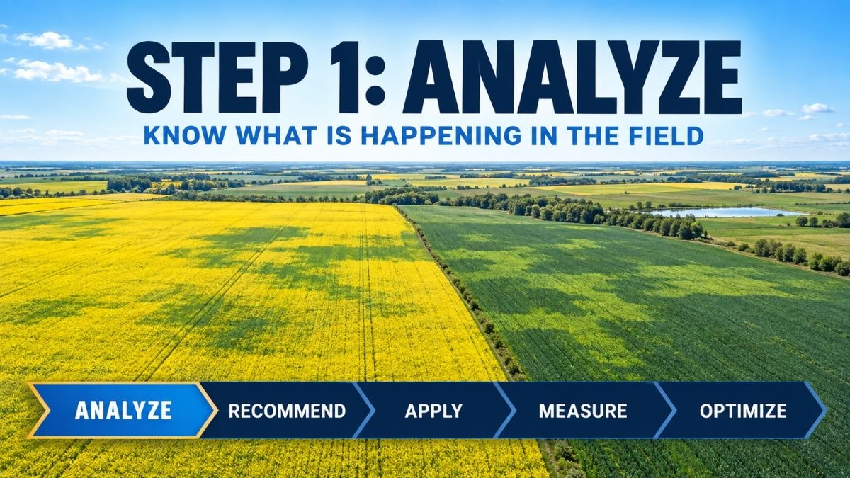
Drone crop monitoring in Canada can give growers a clearer view of field conditions before deciding what action, if any, is needed. This is the Analyze stage and the starting point in our five-part Crop Performance System:
Analyze → Recommend → Apply → Measure → Optimize.
A field rarely performs as one uniform block. Soil texture, moisture, drainage, emergence, pest pressure and nutrient availability can all vary across the same quarter. The challenge is seeing that variability early enough to investigate it and make a useful decision. Drone crop monitoring gives Canadian growers a faster way to view the whole field, locate unusual areas and direct field scouting where it can provide the most value.
What Drone Crop Monitoring in Canada Can Show
High-resolution aerial imagery can reveal patterns that are difficult to see from a road, field entrance or sprayer cab. Depending on the sensor, crop stage and conditions, imagery may help highlight differences in crop colour, canopy development, stand establishment, moisture response or overall vigour. It can also help map drowned-out areas, missed strips, uneven emergence and other zones that deserve a closer look.
The image is not the diagnosis. It is a field-intelligence layer that helps answer a practical question: where should we look next? A stressed area identified from the air may be related to nutrition, disease, insects, compaction, moisture, salinity, equipment performance or another cause. Ground-truthing remains essential.
A more focused approach to crop scouting
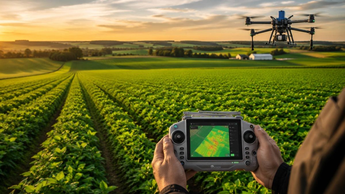
Traditional scouting still matters, but walking a few convenient locations may not represent an entire field. An aerial overview can help an agronomist or grower choose more meaningful scouting points, compare stronger and weaker zones and document the size and location of a concern.
- Review the field from above and identify patterns or outliers.
- Select representative strong, average and weak zones.
- Inspect plants and field conditions at ground level.
- Use the Leaftech Scanner, tissue testing, soil testing or other diagnostic tools when appropriate.
- Record observations so the same areas can be revisited later.
From Aerial Imagery to Plant-Level Analysis
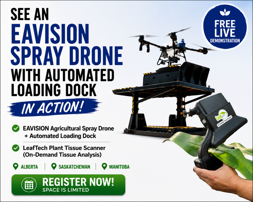
Drone crop monitoring provides the field-level view, helping identify variability and areas that deserve a closer look. Once those areas have been identified, the Leaftech Ag Scanner can add another layer of information by providing in-field plant tissue analysis.
The handheld, non-destructive scanner analyzes a leaf directly in the field and provides nutrient results within minutes. It measures key macro and micronutrients including nitrogen, phosphorus, potassium, sulfur, calcium, magnesium, iron, manganese, zinc, boron and copper, along with leaf water content.
Because scans can be tied to specific locations in the field, growers and agronomists can compare plant nutrient status between stronger and weaker areas identified through drone imagery. The same locations can also be revisited throughout the growing season to monitor changes.
Together, these tools create a more targeted approach to crop analysis:
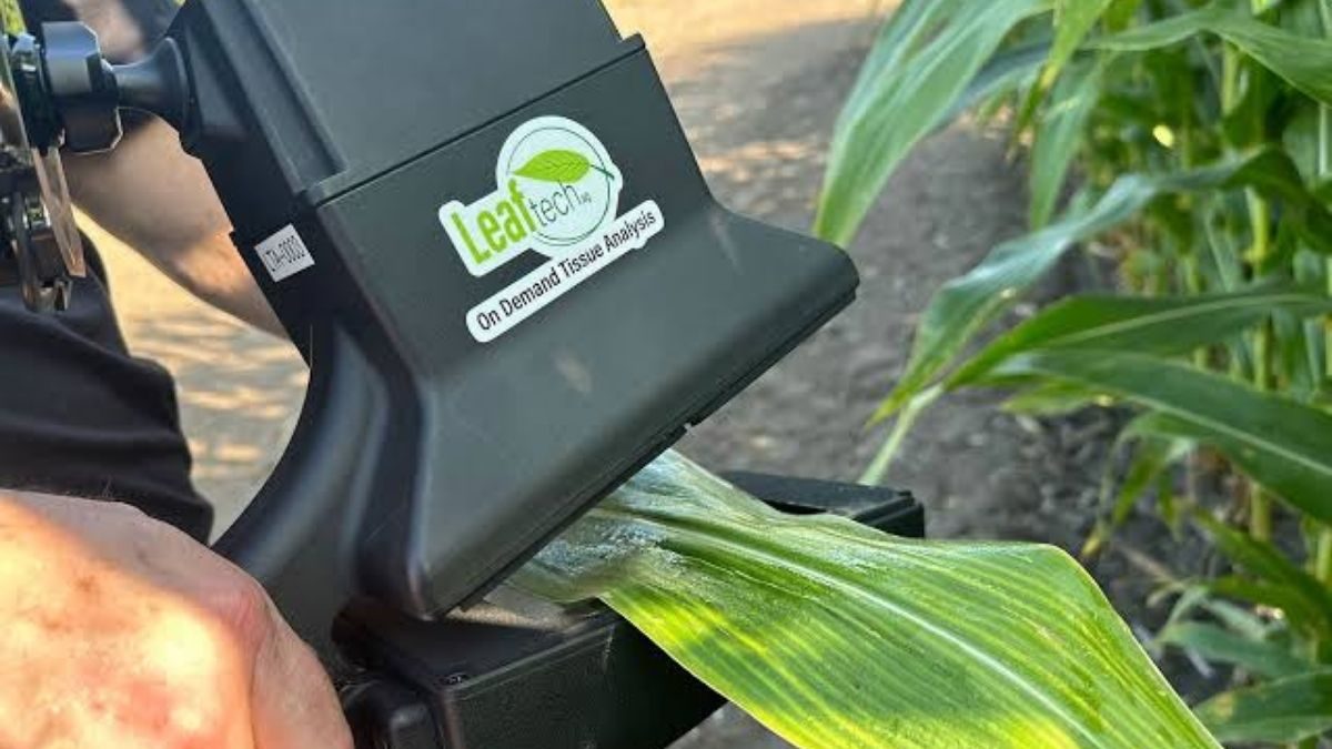
Drone imagery helps identify where something is different → field scouting investigates what is happening → Leaftech analysis provides plant-level nutrient information to help determine why.
Rather than relying on a single image, scan or observation, the Analyze stage brings together multiple layers of field intelligence. Drone imagery, Leaftech results, visual scouting, crop stage, weather, field history, soil information and other diagnostic tools can all contribute to a clearer understanding of crop conditions.
That stronger understanding provides the foundation for the next stage of the Crop Performance System: Recommend.
Why timing matters in Western Canadian fields
Crop conditions can change quickly during a short growing season. Excess moisture, heat, disease risk and nutrient stress do not wait for a convenient scouting day. Faster field visibility can help a team prioritize fields and investigate emerging concerns before the best management window has passed.
Drone monitoring can be especially useful after heavy rainfall, during rapid canopy development, when comparing variable topography or when a field is difficult to walk. Because the drone gathers information without driving through the crop, it also avoids creating wheel tracks or adding soil compaction during the monitoring pass.
From observation to an agronomic decision
Useful analysis brings multiple sources of information together. Drone imagery may be considered alongside Leaftech Scanner data, field history, crop stage, weather, soil information, other diagnositc plant results and observations made in the field. Together, these layers of information can help build a more complete picture of crop conditions and determine whether further investigation or action is warranted.
That distinction is important. The goal is not to collect more maps; it is to improve the quality and speed of the next decision. Sometimes the right action is an application. Sometimes it is more testing, continued monitoring or no treatment at all.
Analyze is the first step—not the finish line
At Ag Drones, crop monitoring is part of a continuous Crop Performance System: Analyze, Recommend, Apply, Measure and Optimize. The Analyze stage creates a clearer view of field conditions. The next step is to interpret that information and develop a practical agronomic recommendation.
Want a clearer view of what is happening across your fields? Talk to the Ag Drones team about crop health monitoring and field-intelligence options for your operation.
About the Ag Drones Team
Ag Drones Inc. is a Canadian source for EAVISION agricultural drone technology, training, parts and support. Powered by AgTek360, our team works with growers, operators and agricultural partners across Alberta, Saskatchewan and Manitoba, connecting field intelligence, agronomy and precision application through practical solutions designed for Canadian farming conditions.