SEE PROBLEMS EARLIER
CROP HEALTH MONITORING
MAKE BETTER DECISIONS FASTER
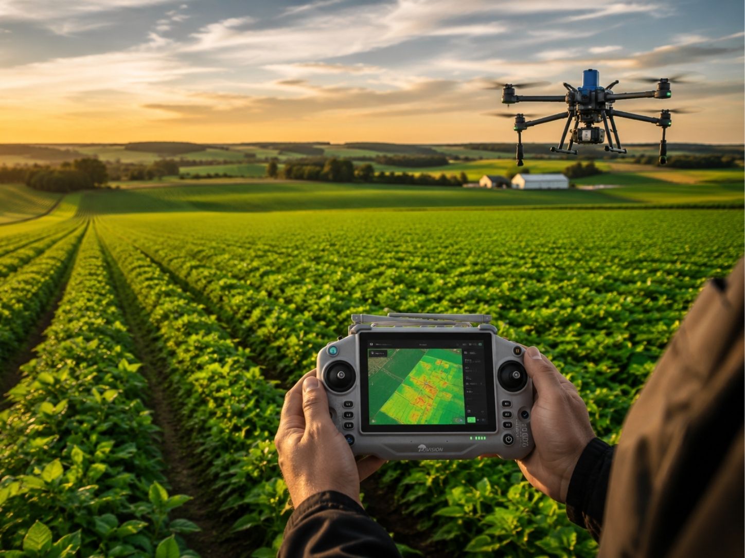
Gain a clearer understanding of crop performance with high-resolution aerial scouting and precision field mapping. Crop health monitoring helps identify stress, nutrient deficiencies, disease pressure, stand establishment issues, and problem areas before they become yield-limiting concerns.
BENEFITS
Why Use Drone Crop Monitoring?
Aerial crop monitoring delivers fast, accurate field insights to help you identify issues early and make better management decisions
EARLY STRESS DETECTION
Identify crop issues before they become visible from the road or cab, allowing for earlier intervention and better management decisions
FASTER FIELD SCOUTING
Cover hundreds of acres quickly and efficiently without walking every field, saving valuable time during the growing season
TARGETED MANAGEMENT
Focus scouting, sampling, and crop inputs where they are needed most for improved efficiency and effectiveness
BETTER ROI
Reduce unnecessary applications, improve resource allocation, and support more informed crop management decisions
TURN DATA INTO DECiSIONS
Technology alone doesn’t improve yields. The real value comes from turning field data into practical recommendations that support better crop management decisions.
HOW IT WORKS
How Crop Health
MONITORING WORKS
Fly the Field
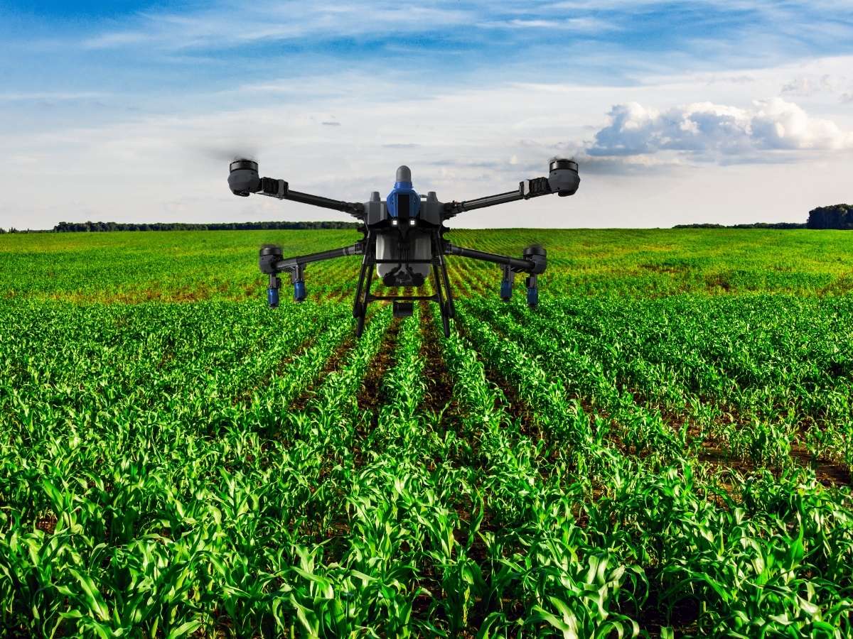
Drone flights collect high-resolution imagery across your field
Analyze the Data
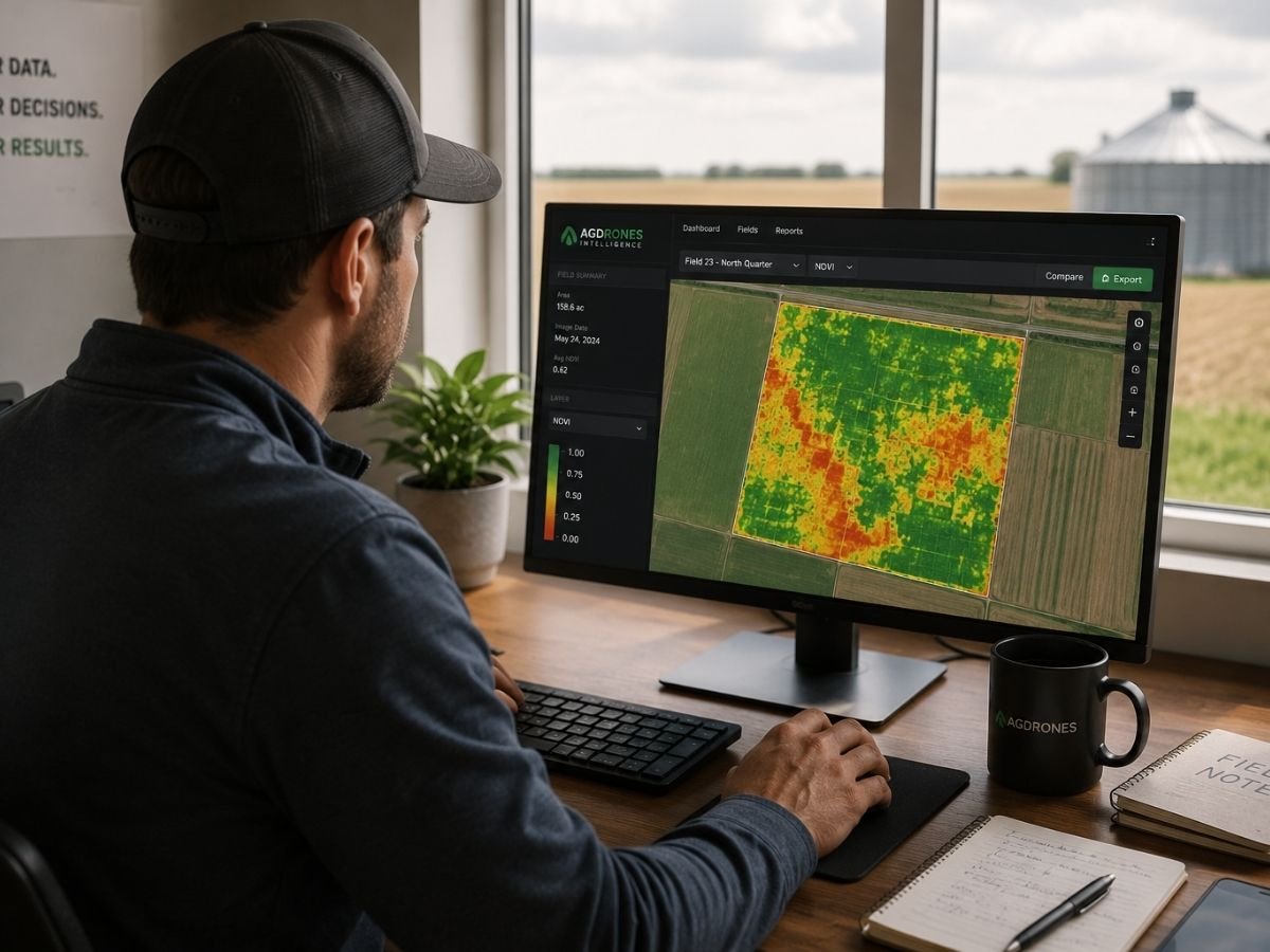
Advanced imagery and mapping tools identify variability, stress zones, stand establishment issues, nutrient concerns, and potential disease pressure
Take Action

Use field insights to guide scouting, tissue sampling, fertility programs, crop protection decisions, and aerial application strategies
WHAT CAN CROP HEALTH MONITORING IDENTIFY?
High-resolution aerial imagery and advanced analytics help identify potential issues early so you can investigate and take action before they become more significant
Stand Counts
Verify emergence and plant population across the field
Crop Stress
Identify areas impacted by moisture, compaction, heat, or environmental stress
Nutrient Deficiencies
Locate potential nutrient issues and prioritize further investigation
Disease Pressure
Detect areas that may require additional scouting or management attention
Problem Area Mapping
Identify drowned-out areas, poor-performing zones, and field variability
Crop Performance Trends
Track crop development and monitor field performance throughout the season
THE AG DRONES DIFFERENCE
MORE THAN MONITORING
A COMPLETE CROP PERFORMANCE SYSTEM
We combine aerial intelligence, agronomic expertise, and precision application to help you analyze, act, and improve – season after season.
ANALYZE
Field Scouting & Crop Diagnostics
Drone imagery and field intelligence identify crop stress, nutrient deficiencies, disease pressure, and variability
RECOMMEND

Agronomic Expertise
Our team interprets field data and develops practical recommendations to improve crop performance
APPLY
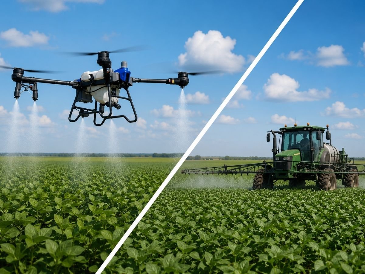
Precision Application
Apply products using drone technology or conventional equipment based on field conditions and application requirements
MEASURE
Monitor Results
Track crop response throughout the season using drone imagery and field measurements
OPTIMIZE
Continuous Improvement
Use real-world results to refine decisions, maximize yield potential, and improve ROI
A CONTINUOUS CYCLE
OF IMPROVEMENT
Analyze → Recommend → Apply → Measure → Optimize → Repeat
BETTER DATA. BETTER DECISIONS. BETTER RESULTS.
NEED CROP MONITORING BUT NOT READY TO PURCHASE A DRONE?
Connect with experienced agricultural drone service providers across Canada for professional crop scouting, aerial mapping, and field intelligence services
FREQUENTLY ASKED QUESTIONS
What can drone crop monitoring detect?
Drone imagery can help identify crop stress, stand establishment issues, nutrient deficiencies, disease pressure, moisture variability, and other performance concerns that may require further investigation.
Is crop monitoring a replacement for field scouting?
No. Crop monitoring helps identify where problems may exist so growers and agronomists can focus scouting efforts more efficiently.
How often should fields be monitored?
Many growers monitor fields multiple times throughout the season, particularly during emergence, rapid growth stages, and prior to key management decisions.
Can crop monitoring support variable-rate management?
Yes. Depending on the data collected and software used, monitoring flights can support prescription maps and variable-rate management decisions.
What crops benefit from drone monitoring?
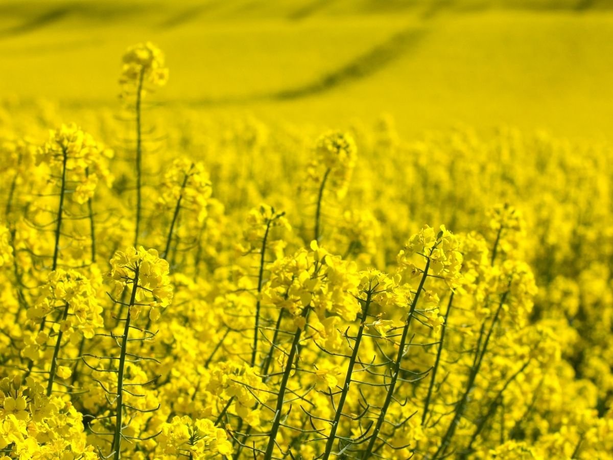
Cereals, canola, corn, soybeans, pulses, specialty crops, orchards, vineyards, and many other crop types can benefit from aerial monitoring.
Can Ag Drones provide both monitoring and application services?
We can recommend Ag Drone partners who can provide monitoring data to help identify problem areas, and aerial application services can then be used where appropriate to address those concerns.