Agricultural drones can help growers see fields differently, reach challenging acres and complete timely applications. But the drone itself is only one part of the decision. The strongest results come when field information, agronomic expertise, application planning and follow-up measurement work together.
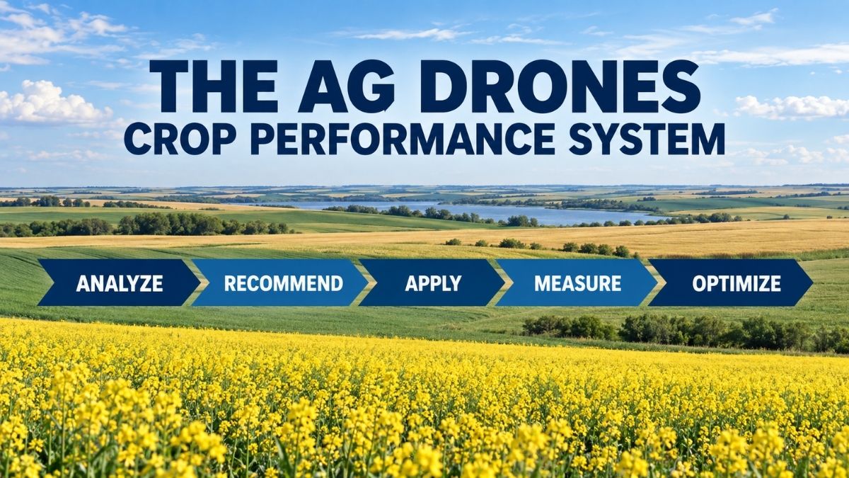
That is the purpose of the Ag Drones Crop Performance System: Analyze, Recommend, Apply, Measure and Optimize. Powered by AgTek360, this five-step approach connects agricultural drone technology with practical agronomy and continuous improvement.
Why a Complete Crop Performance System Matters
A field rarely performs as one uniform block. Crop development, moisture, soil conditions, nutrient availability, disease pressure and access can vary across the same farm. Technology can reveal those differences, but information only becomes valuable when it leads to a sound decision.
The Crop Performance System provides a straightforward framework for moving from observation to action and then learning from the result. It also keeps the agronomic objective ahead of the equipment. Sometimes a drone is the right tool; sometimes another application method—or no application at all—is the better choice.
The Five Steps from Field Insight to Improvement
Step 1
Analyze Know What Is Happening in the Field
Analyze begins with a clearer view of field conditions. Drone imagery can help identify field variability and direct scouting to areas that deserve a closer look, while the Leaftech Ag Scanner can add plant-level nutrient information in the field. Combined with crop scouting, field history and other diagnostics, these tools help build a more complete picture of what is happening in the crop.
Step 2
Recommend Turn Information into an Agronomic Plan
A map is not a recommendation. The Recommend stage combines imagery with ground-truthing, crop stage, weather, field history and agronomic expertise to determine whether action is needed and what that action should be.
Step 3
Apply Put the Recommendation into Practice
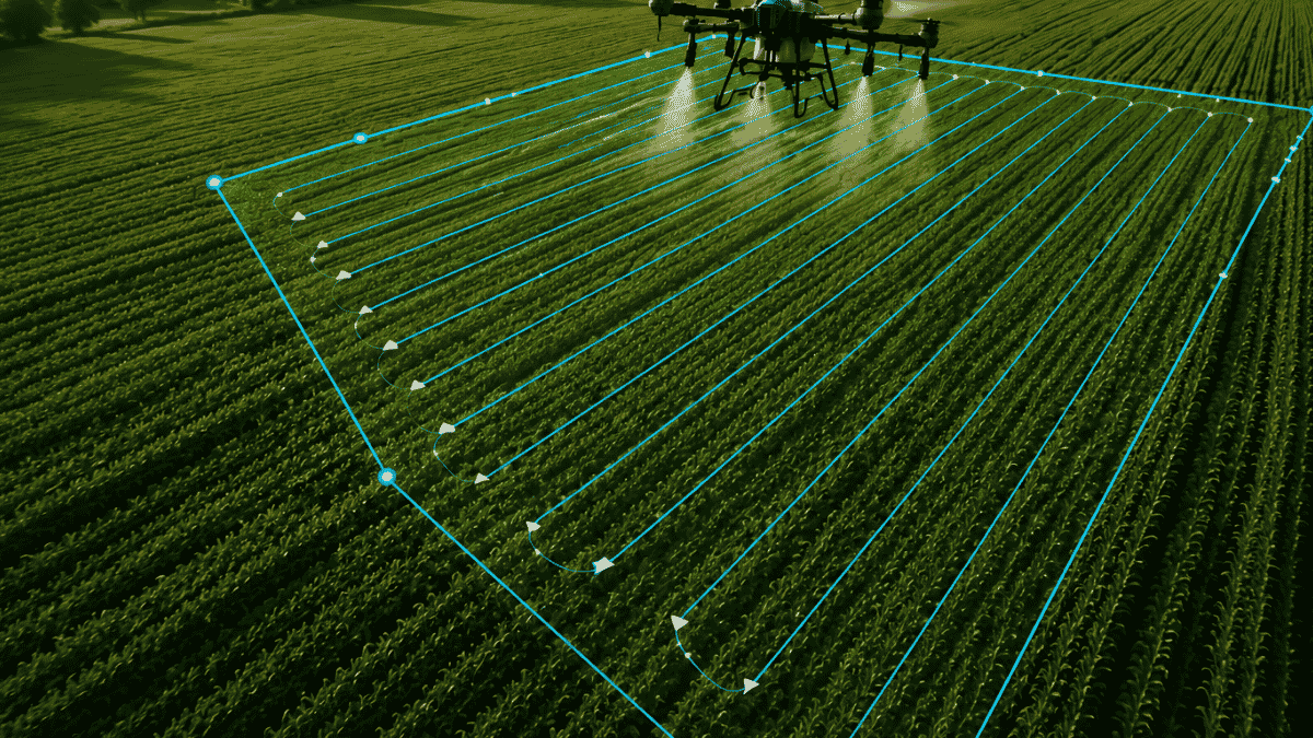
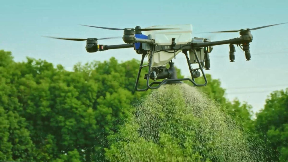
Apply is where the plan becomes field execution. The equipment, timing, calibration, application parameters, operating conditions and workflow must all support the recommendation. Agricultural drones can be especially useful when access is difficult, fields are wet, timing is tight or wheel traffic would damage the crop.
Step 4
Measure Determine What Happened Next
Application is not the end of the process. Repeat drone imagery, scouting, Leaftech scanning at previously identified locations, mission records and field observations can help assess crop response and determine what changed after an application.
Step 5
Optimize Improve the Next Decision
Optimize uses agronomic results and operating experience to refine future decisions. The team can review what worked, what created delays and what should change before the next field or season. Optimization then leads back to Analyze, creating a continuous cycle.
Where Agricultural Drones Fit
Agricultural drones and field-intelligence tools can support several stages of the system. Drone monitoring and imagery strengthen Analyze and Measure, while tools such as the Leaftech Ag Scanner can add plant-level nutrient information that can be compared over time. Spray and spreading capabilities support Apply. Mission records, field observations and seasonal experience contribute to Optimize. The technology becomes more useful when each flight has a clear purpose and the information is carried into the next decision.
This broader approach is also what connects Ag Drones with AgTek360. Ag Drones provides EAVISION technology, training, parts and support, while the AgTek360 network brings agronomic expertise, crop-input knowledge and practical field experience.
Follow the Five-Part Series
Over the next five articles, we will take a closer look at each stage and explain how growers and operators can use the process in real field situations:
- Step 1 Analyze: How Drone Crop Monitoring Helps Canadian Growers Make Better In-Season Decisions
- Step 2 Recommend: From Drone Imagery to Agronomic Recommendations
- Step 3 Apply: Precision Drone Application in Canada
- Step 4 Measure: How to Measure the Results of a Drone Crop Application
- Step 5 Optimize: How Farm Data Can Improve Future Drone Applications and Agronomic Decisions
Better Information Better Decisions Better Results
The Ag Drones Crop Performance System is not about collecting more data or using technology for its own sake. It is about making more informed decisions, completing applications with purpose and using the results to improve what happens next.
Ready to explore the first step? Continue to Step 1, Analyze, to learn how drone crop monitoring can provide a clearer view of field variability and help focus in-season scouting.
About the Ag Drones Team
Ag Drones Inc. is a Canadian source for EAVISION agricultural drone technology, training, parts and support. Powered by AgTek360, our team works with growers, operators and agricultural partners across Alberta, Saskatchewan and Manitoba, connecting field intelligence, agronomy and precision application through practical solutions designed for Canadian farming conditions.